SOLD! 150 High Street, Thomaston, CT. 06787
670
Property ID
1,776 SqFt
Size
4
Bedrooms
1.5
Bathrooms
Description
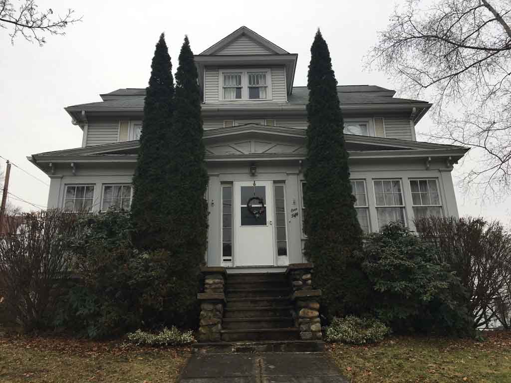
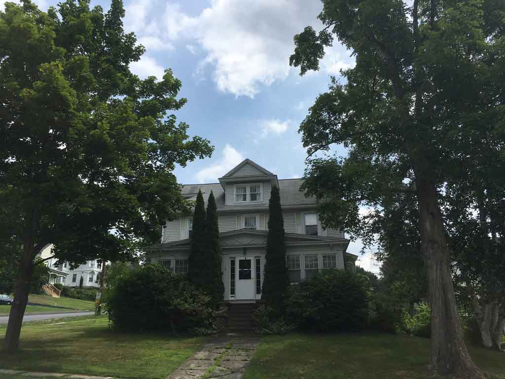
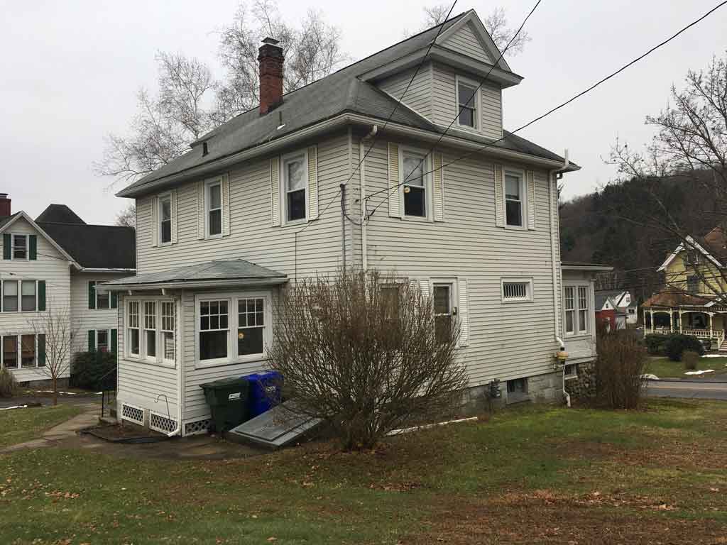
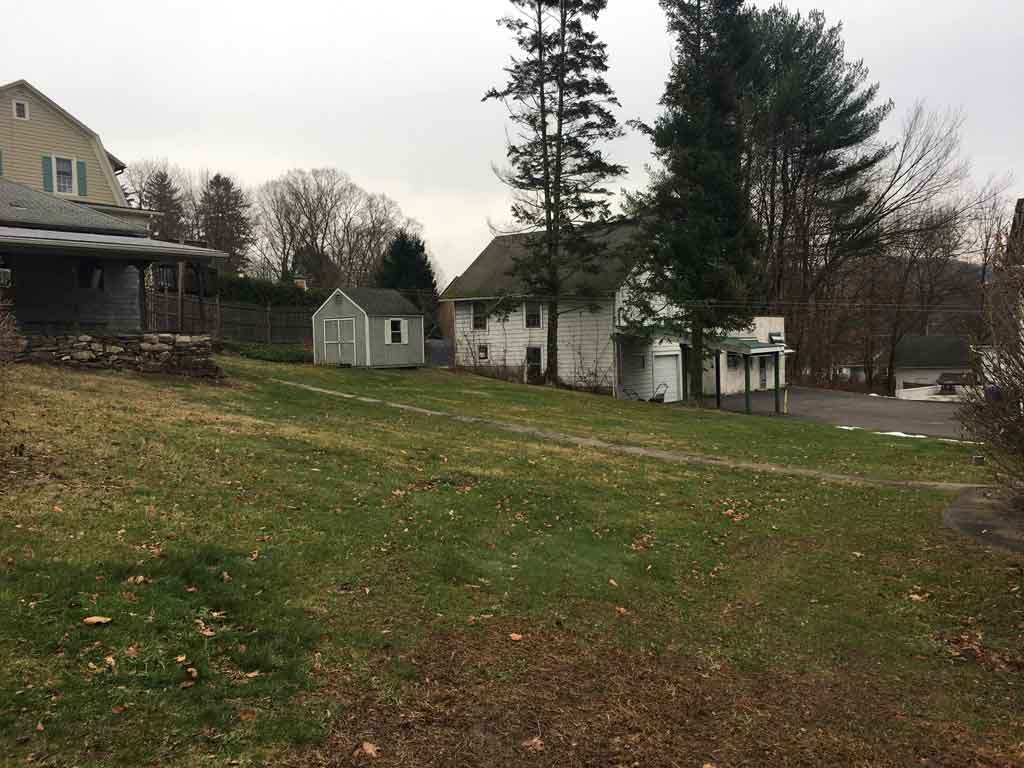
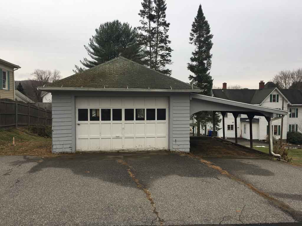
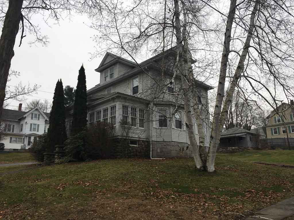
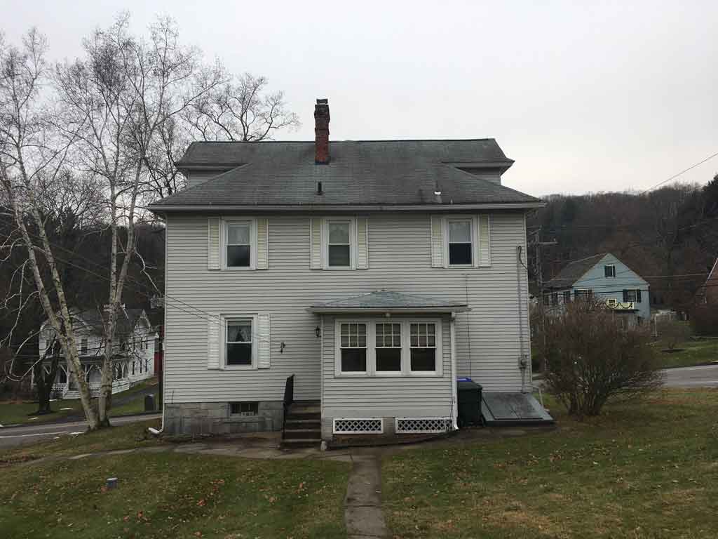
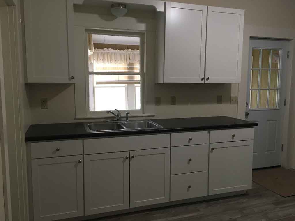
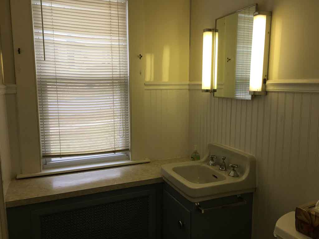
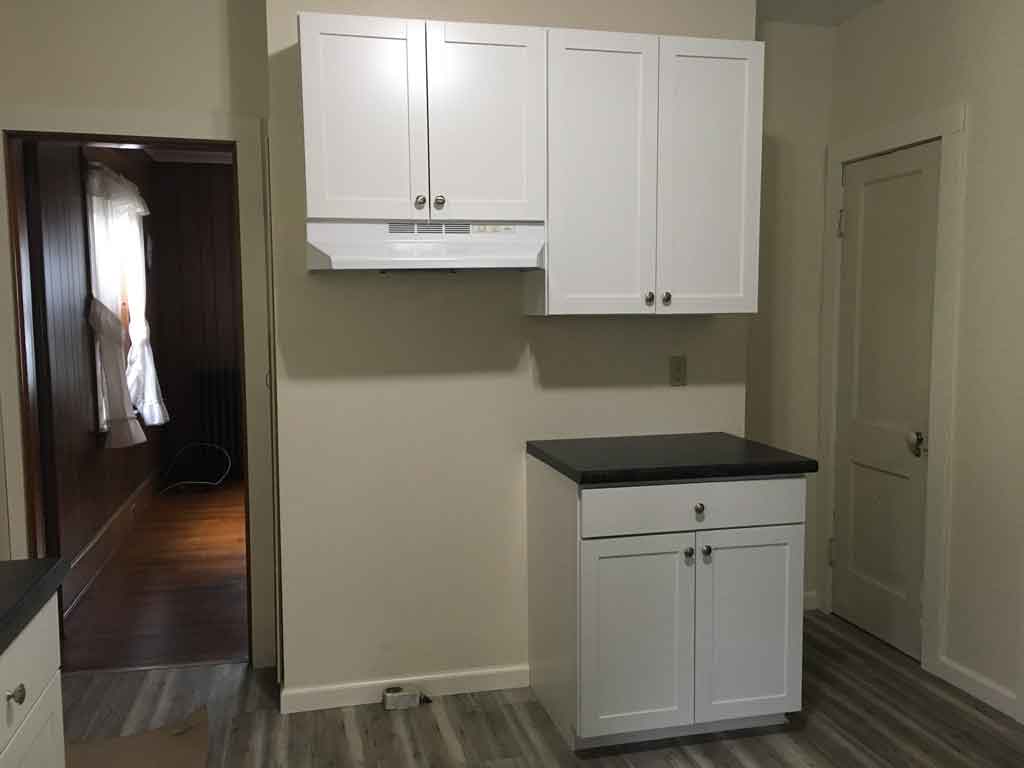
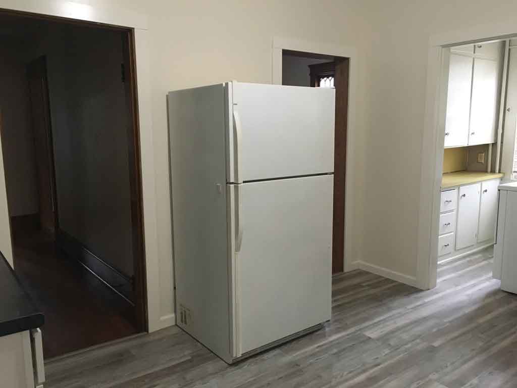
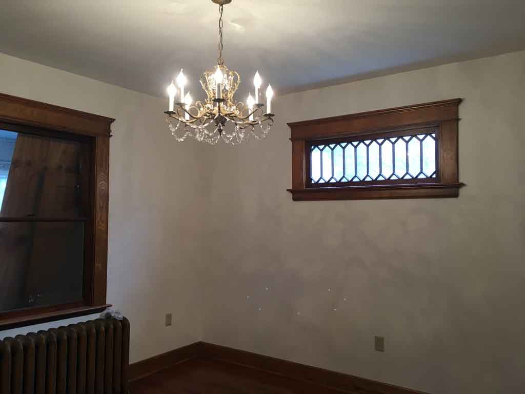
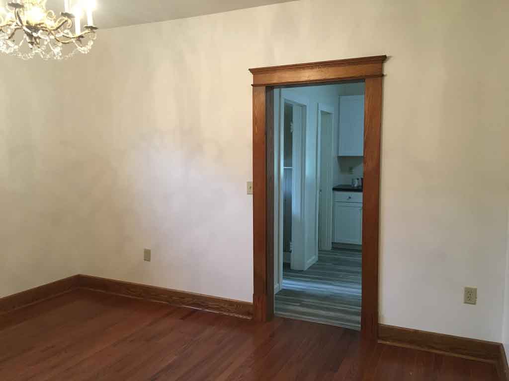
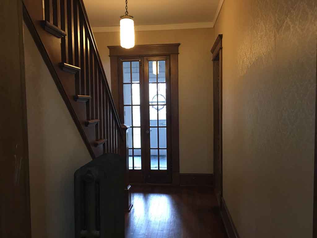
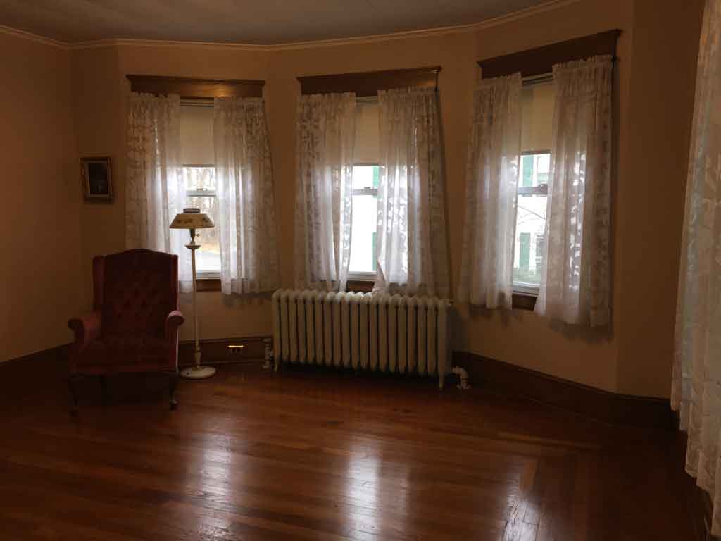
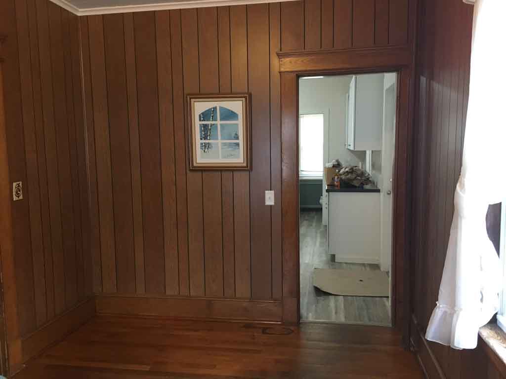
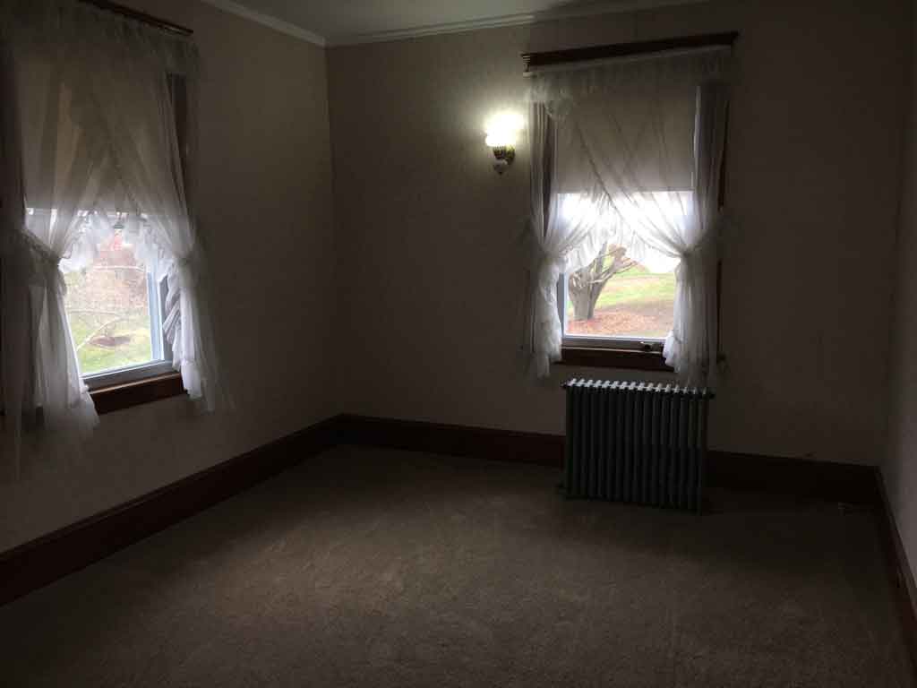
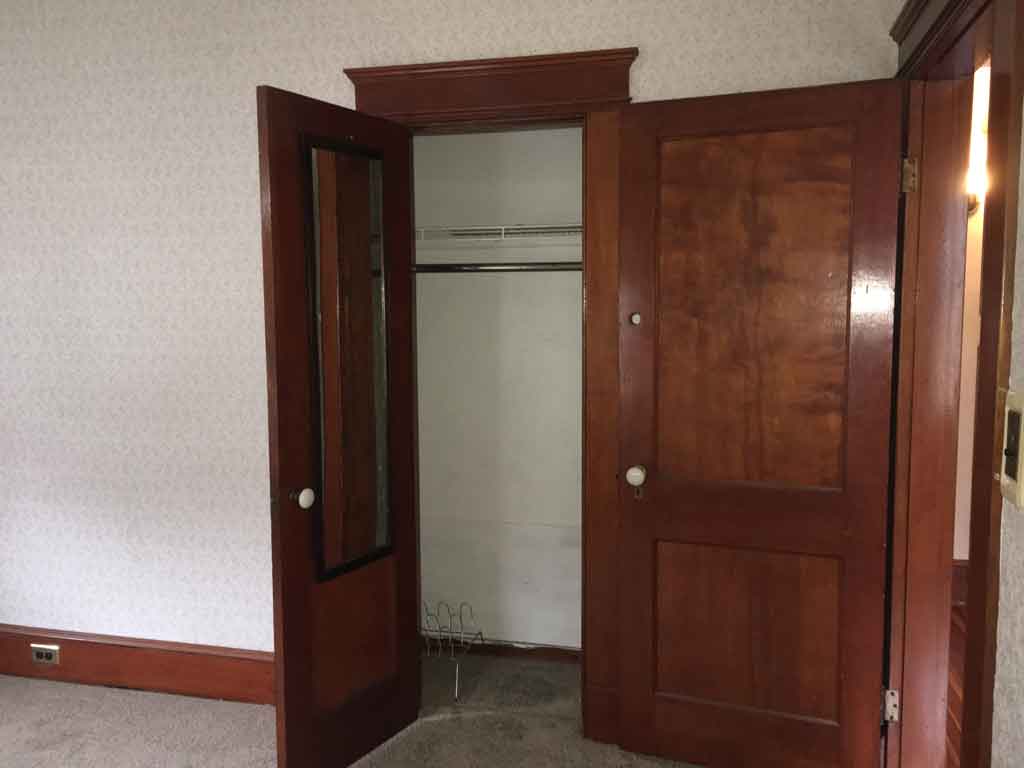
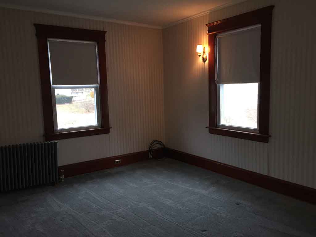
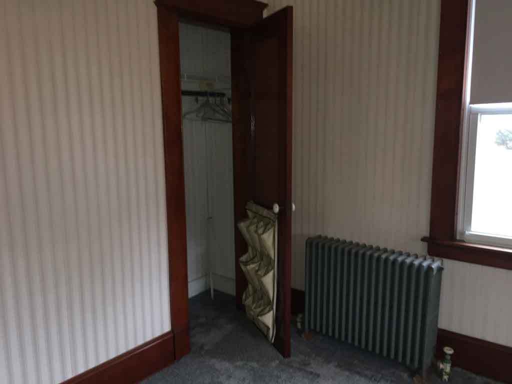
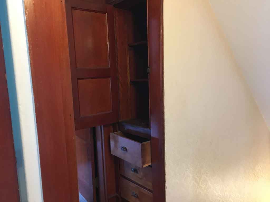
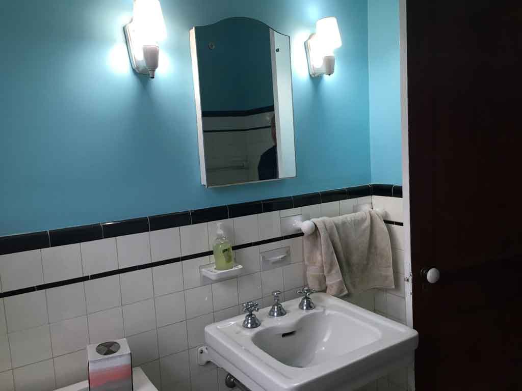
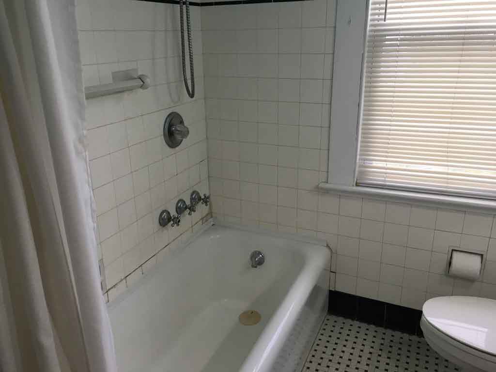
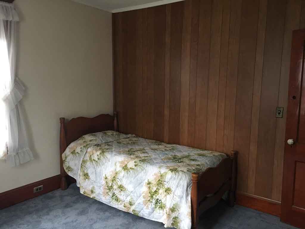
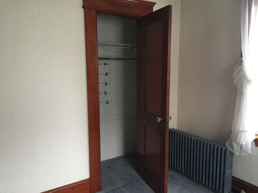
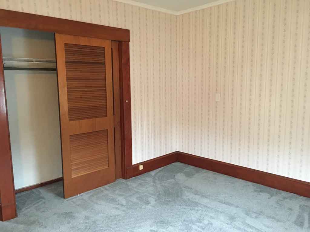
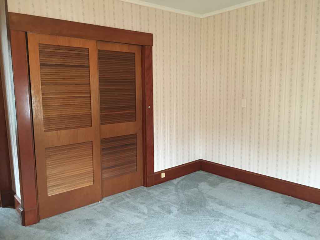
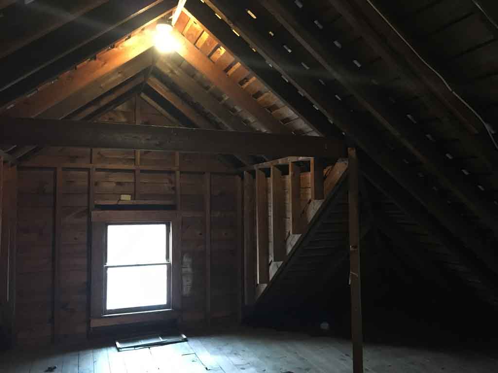
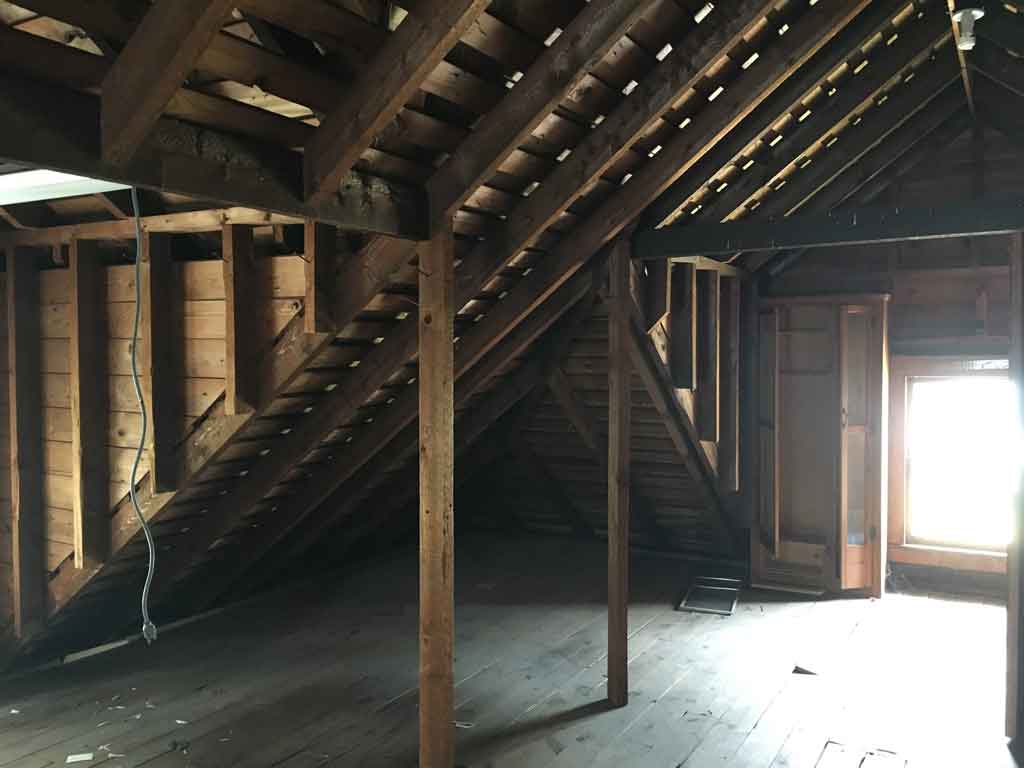
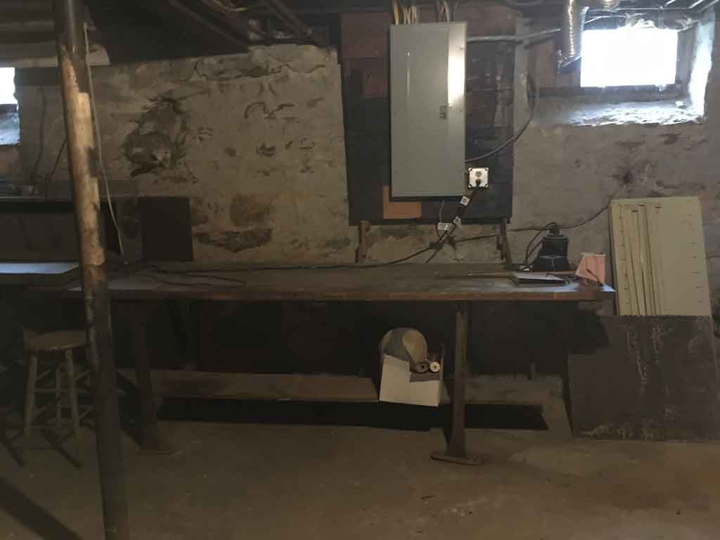
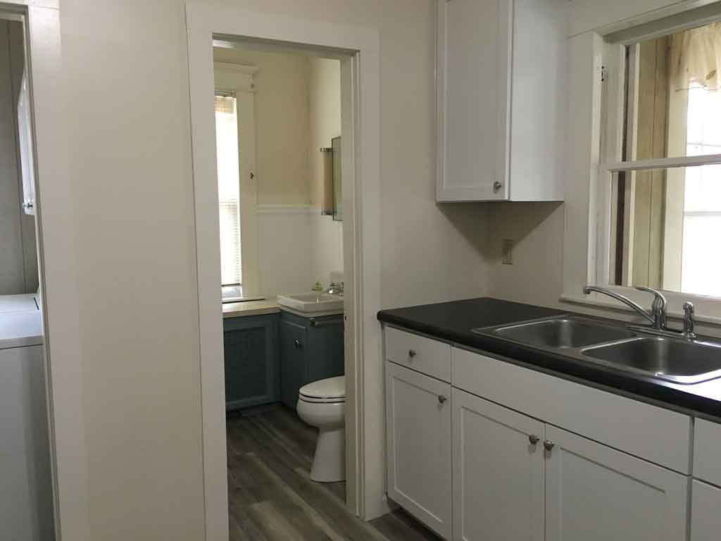
Estate Sale! Vintage Colonial – A MUST SEE! Located on a corner lot with a detached garage/carport, this home is one for the antiquer’s eye. A rare find, this home features 4 bedrooms with exquisite hardwoods and ORIGINAL woodwork with unique and intricate window features. Custom built-ins are found throughout this home – all original. The kitchen is newly remodeled with new cabinetry, countertops and flooring. This homes boiler system, electrical panel and roofing shingles are all newer upgrades as well as a brand new roof/sheathing on the carport. In the front of this home you will find a spacious 8X32 three season porch and a sunroom/mudroom at the back entrance. In addition, on the third level, find a HUGE walk-up attic, floored with a walk-in cedar closet. Generous space for storage throughout and turn-key…this home is simply awaiting personal touches! The PERFECT opportunity!
https://smartmls.mlsmatrix.com/matrix/shared/3BzCLK9zkr/150HighStreet
Address
- Country: United States
- Postal code / ZIP: 06787
- Property ID 670
- Price $194,900
- Property Type Residential, Single Family
- Property status SOLD!
- Rooms 8
- Bedrooms 4
- Bathrooms 1.5
- Year Built 1900
- Size 1,776 SqFt
- Garages 1 car - detached
- Outdoor Parking Carport
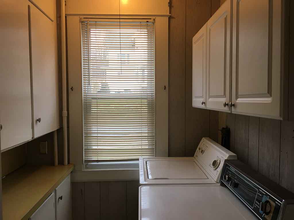
- Appliances Included Oven/Range, Refrigerator, Washer, Dryer
- Attic Walk-up, Partially Finished, Cedar Closet
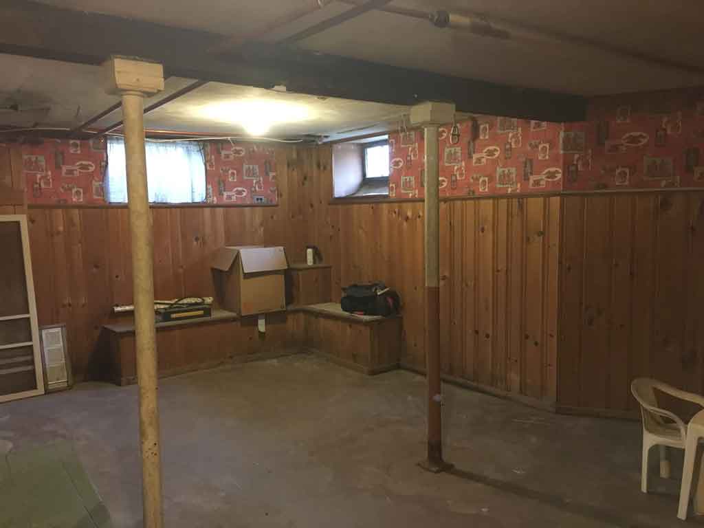
- Basement Full with Hatchway, Partially Finished
- Exterior Siding Aluminum
- Lot Description Dry, Corner Lot
- Roof Asphalt Shingle
- Hot Water System Electric
- Heat Type Natural Gas, Boiler, Radiator
- Cooling Window Units
- Water & Sewer Service Public Water, Public Sewer
- Acres .37
Nearby Places
Walk Score
-
27
Walk Scores Car-Dependent View more




Leave A Comment